The third episode in of a mini series on features of the Eindhoven urban landscape that can be used as corridors to explore the city. After the high voltage power line through Woensel and the city’s various canals, let’s talk about the ring roads.
Well, there is only one real ring road, so let’s start with that one. It was conceptualised even before Eindhoven in 1920 merged with its five neighbouring villages, to ensure a properly connected urban territory (as opposed to the small urban core of the original Eindhoven remaining the single hub connecting the others). But it was only build post WWII and completed in 1966.
To suggest this ring as a feature to use as an exploration corridor may surprise you. It really shouldn’t because a couple of years back (2015), as part of its yearly ‘Day of Architecture’ activities, the Architectuurcentrum with good reason published a guidebook on reconstruction era (1945 – 1965) architecture along the Ring. It describes 78 different sights along this 12k route, which in itself should be enough to convince you of giving it a try next time you want a new way of traversing the city! Unfortunately the guide is only available in Dutch (free download) and in need of an update. Nevertheless, clear and detailed maps and pictures of all sights make it a good enough resource even for those lacking Dutch language skills.
The ring gives me a good excuse to once more embed these images from 1960s Eindhoven:
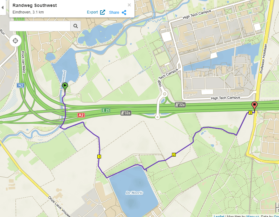
There is another ‘ring’ – incomplete as it may be: the so-called Randweg (edge road), made up by the highways connecting Eindhoven to Tilburg, Den Bosch, Nijmegen, Venlo, Maastricht and Antwerp:
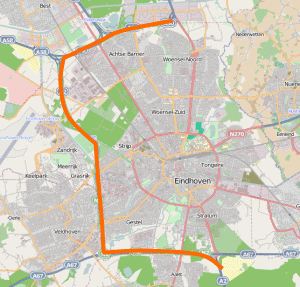
Obviously the Randweg as such cannot be used as a corridor. But it makes for an interesting exploration exercise to figure out ways to follow this highway ‘ring’ inside or outside, or both, and to complete the ring by designing one or more possible Eastern edges. Always a good way to start: open the VisitBrabant network of walking routes.
I can assure you that:
- it is not the easiest of puzzles to solve (dare I label it with that massively overused and thus empty term ‘challenge’?….no I don’t) and it has more than one equally defensible ‘solution’;
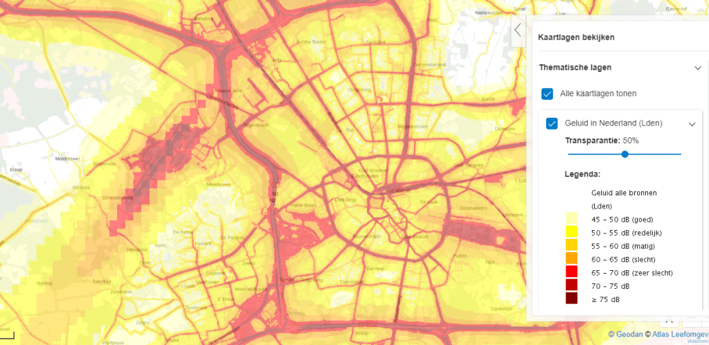
- yes, highways mean noise, noise affects our illusion of nature, sorry….that is the reality of this and many other cities; have a look at the pic below. But don’t forget what the point of looking for alternative perspectives on your living environment is in the first place: to ignore ‘common sense’ judgements about what is worthwhile to explore. Once you’ve explored these ‘edges’ of the city and decide you prefer to spend your time elsewhere, fine, but only after you’ve checked your prejudices about what is interesting and enjoyable against reality.
- you’ll come across lots of ‘forgotten’ green spaces. I predict that taking on this ‘project’ will result in your adoption of some of them as great additions to your list of worthwhile parts of your city. But you’ll also write off some areas close to the Randweg as best avoided. Which is fine – see nr.2 above – and probably also means that you have figured out how best to do that,
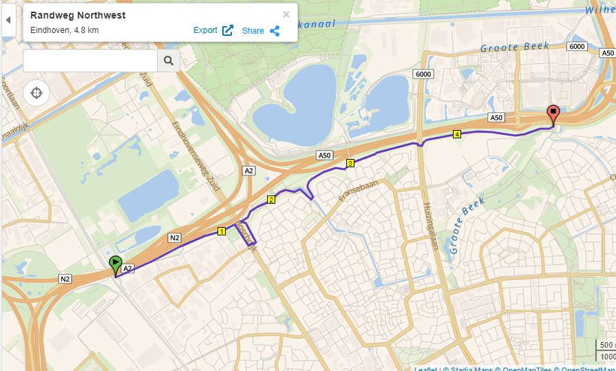
I’m aware this one is hard sell so let me share a couple of what I see as example of underappreciated green spaces that you’re bound to across, and I assure you that there are quite a few more:
Now that we’ve looked at the largest ‘ring’, why not conclude with the ‘ur’ ring, the moat protecting the original Eindhoven. You might be familiar with this 1560ish map of the city:

The moats have only been filled way into the last century – to make way for traffic (read cars, sigh….). I leave the Kindergarten puzzle of which streets used to be (partly) moat for you to figure out for yourself. And once you have done that: humour yourself and walk the perimeter of the original Eindhoven at least once to get a feel for what a little city it once was.

2 thoughts on “looking at urban Eindhoven differently – the ring roads”