Another mini-series on ways to go about exploring Eindhoven. This time not by taking the whole of the city area as our play ground, but by taking specific features traversing the landscape as corridors to follow. Let me kick off with the least obvious candidate: high voltage power lines.
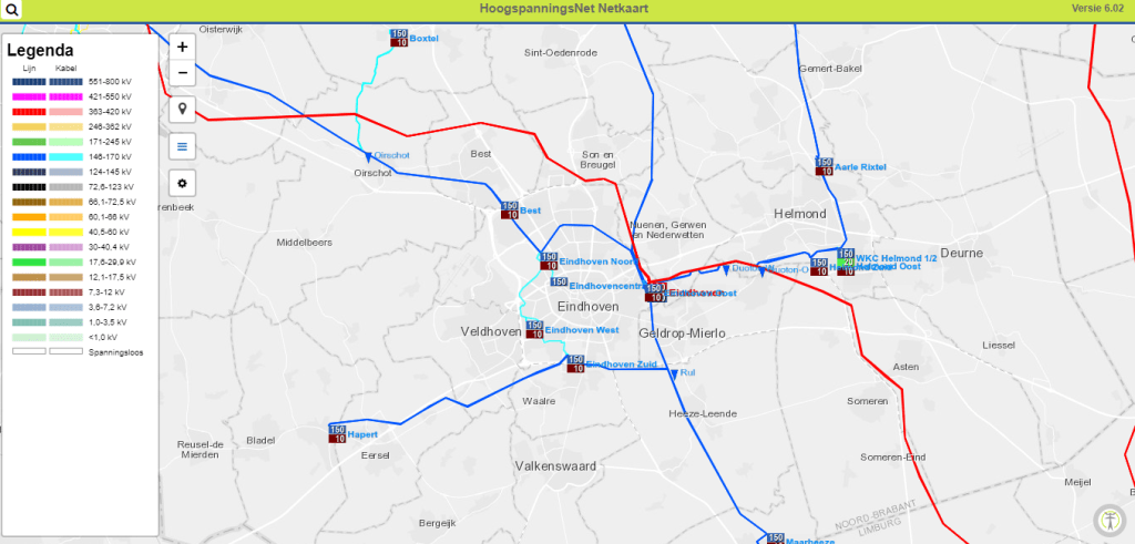
If we limit ourselves to lines of electricity pylons actually traversing the city, we end up with a single one. The dark blue line on the map takes us (East to West) from the Sterrenlaan near where it crosses the Dommel river, in an arc through Woensel all the way to a station in the Grote Beek. And from there it leaves the city in a straight North West line to the Wilhelmina canal.
Not all of the corridor is accessible but most of it is and makes for a very green traverse of the Woensel part of the Eindhoven. For those who are into that, substantial parts of it can be walked/run off-road. To make the most of the below description I suggest you open another map, with much more relevant detail for pedestrians, again in a separate browser tab: the VisitBrabant hiking network map (click on the hiking tab).
From the Sterrenlaan to the Kennedylaan you can stay close to the pylons. Their corridor forms a park like green zone through the Luytelaer and Eckart neighbourhoods. After the Kennedylaan the pylons follow the Bischop Bekkerslaan and its continuation, the Roelantlaan. No building is allowed below high voltage power lines so this whole part is one long stretch of grass. It crosses four side streets before reaching the Huizingalaan (for the last bit the pylons are on the opposite side of the Roelantlaan). These roads are major transport corridors, and testimony to the modernist car-centric vision underlying the post WWII building boom that turned the existing largely rural Woensel into the biggest extension of the core city. They are the kind of roads that one doesn’t tend to explore on foot. And that is exactly why you should do it. Only navigation by foot will allow the particular Eindhoven version of this vision to get under your skin.
After the Huizingalaan, the line veers off on a more Southernly course than the continuation of the Roelantlaan (called Fakkellaan). A proper footpath meanders through this park like green zone and brings you to the Tacituslaan and then the Oude Boschebaan. Follow the green that lines the Oude Boschebaan South for 100 meters and cross the street. The path opposite takes you to the Boschdijk and across that into the Grote Beek estate. Not worth it sticking to the pylons, just continue straight until you hit the power station and then take a right and follow the VisitBrabant route through this large park. More in depth exploration of this park-estate is for another time but take note: it is hugely undervalued!
A great forest trail and a bit of tarmac road brings you to the North entrance of the the Grote Beek. Cross the Anthony Fokkerweg and turn left on the cycle path until you can climb a dyke with the railway line on one side and a park with the power line running through it on the other. This is green zone with more than one way through on your way North. One of those larger city ‘parks’ that you have never heard about (unless you happen to live in the adjoining Acht neighborhood). When you hit the Waalstraat: cross it and follow the VisitBrabant route North until you come to the Zuid Willemsvaart (canal). The first part is road (Schiestraat/Leemkuil) through the industrial area of Kapelbeemd. No one claims that this is scenic but across the railway line you’ll see a huge waste management facility, an interesting reminder of what it takes to keep a city like Eindhoven functioning. And the second part is one of those hidden green corridors that you will never ever discover, unless you are weird enough to do things like using a high voltage power line as your guide through town.
Why would anyone do something silly like? A legit question indeed. And I don’t have a good answer other than that as a ‘project’ it is as good as any other. And isn’t it amazing that you can cross right through such a huge section of North Eindhoven and stay on soft surface maybe 75% of the time?
Best way back is to continue from the canal to Best – not very far – and catch a train or bus.
For some more silliness, enjoy one of the biggest Dutch rock and roll hits of all time (1960) by Eindhoven’s one and only Peter Koelewijn.

2 thoughts on “looking at green Eindhoven differently – the high voltage power line”