High voltage power lines may be a somewhat oddball feature to guide city exploration, canals are certainly less so. They are natural corridors and used as such by city planners.
The two canals that reach the inner city are the Eindhovensch kanaal (canal) and the Beatrix kanaal. Both are clearly visible on the below map. The first starting right in the city centre next to the NRE site and going East to connect Eindhoven with the Zuidwillemsvaart. The latter being an early 19th century effort to link up the commercial centre of the newly formed United Kingdom of the Netherlands, i.e. its harbours in the West, with what at that time was its industrial centre, Liège (Luik). To the dismay of its business elite, the Zuidwillemsvaart and thus its connectivity advantages ended up bypassing Eindhoven. So they decided to invest in a canal, (dug 1843-1856) to hook up their city to this important new waterway.

The Beatrix kanaal, nearly a century younger (constructed 1930-1940) was to hook up the city with the Wilhelmina canal (1910-1923). “In order to be able to regulate the level of the Gender and Dommel streams, which regularly threatened to flood Eindhoven’s inner city, an additional Discharge Canal (Afwateringskanaal), which is not open to navigation, was dug to connect the Beatrix Canal and the Dommel.” (wikipedia Beatrix canal). But .
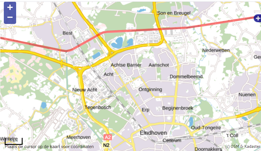
The Wilhelmina canal (the main beneficiary of which was not Eindhoven but Tilburg) connects the Zuidwillemsvaart East of Eindhoven to the Meuse at the Biesbosch (one of the country’s largest national parks and one of the last extensive areas of freshwater tidal wetlands in Northwestern Europe). The above map doesn’t show much of the Wilhelmina canal, so I added another map below so you see how this canal hugs the Northern perimeter of Eindhoven.
All these canals are very interesting corridors lined by cycle paths and as soon as one is outside the urban area proper also an unpaved option. The nicest way from Eindhoven to Tilburg: the Wilhelmina kanaal, from Eindhoven to Beek en Donk: the Wilhelmina kanaal, from Eindhoven to Geldrop and to Helmond: the Eindhovensch kanaal. All three routes deserve a separate post and will get one sometime in the future, promise.
The Eindhovensch kanaal runs from the inner city to its Eastern perimeter, making it a perfect outward or inward leg of a city centre to the East via either a Southern or Northern arc. Check out the VisitBrabant route network, look for node/junction nr. 30 where the railway line to Heeze crosses the Eindhovensch kanaal and figure out your preferred arc back to the city centre. Sure, this last example is not so much green as urban Eindhoven. But blue and green share a lot: both have similar effects on our stressed overstimulated systems and provide us with a breath of fresh air, literally and metaphorically.
Unfortunately a substantial stretch of the Beatrix kanaal near the airport is closed off on both sides because of road construction. However, following the Afwateringskanaal and then the Beatrix kanaal from the Dommel to the Flight Forum at the North end of Meerhoven and then exploring the exceptional Meerland park makes for a great urban greenery day out.

2 thoughts on “looking at green Eindhoven differently – the canals”